Toxins, pollution and invisible boundary lines are obstacles to harvesting bivalves such as clams and oysters. A new cohort of cellphone and web apps promises to help people farm and harvest shellfish more responsibly.
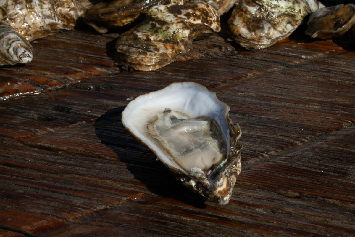
Jeff Harrison has been a waterman for just shy of five decades. Based in Maryland, he gets up around four in the morning to head out and dredge and tong for oysters. A lot changes over the course of 48 years, and one of those things is that Harrison brings a smartphone out on the boat with him.
When you harvest oysters, you have to make sure you aren’t crossing over into restricted territory. To help, the Maryland Department of Natural Resources developed a web app for commercial and recreational shellfishers called iShellfish, that depicts state waters with demarcations for several categories including seaweed protection zones, oyster sanctuaries, aquaculture leases and more. Users can see where they are in relation to these boundaries, many of them hard to see in person.
“I can hold it in my hand and look at it and know exactly where I am without having to get the binoculars out to look,” says Harrison. The app helps him stay on the right side of the different boundaries. Crossing them could have serious consequences. “I could actually lose my license.”
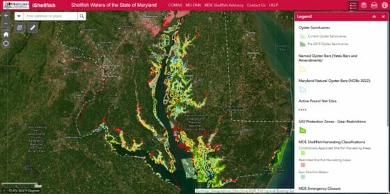
Screenshot of the iShellfish web app.
Harrison uses iShellfish regularly. When it comes to knowing where he can go, it takes all of the guesswork out of the process, he says. Harrison, also the president of the Talbot Watermen Association and chair of the County Oyster Committee for Talbot County, used to try to find individual boundary charts online, but the app compiles all of the information into one place.
Shellfish are both culturally and economically significant in coastal communities across the continent, but knowing which waters are legal and safe to harvest can present a significant obstacle. Behind these issues are wicked problems without simple solutions. But when it comes to figuring out where and when you can harvest shellfish, the answer may be as easy as downloading an app.
Helping farmers adapt
Some call North Carolina’s estuaries the “Napa Valley of oysters,” a nod to the abundance of perfect shellfishing conditions in the area. But being an oyster grower in this area also comes with its fair share of financial risk and unpredictability.
Heavy rainfall can flush pollutants and chemicals from roadways into the water. This is when pollutant concentrations in a waterbody can hit dangerous levels, and in North Carolina, the Division of Marine Fisheries enforces temporary closures for affected shellfish leases as a way to address the health risks associated with eating oysters from contaminated waters.
These closures are critical for public health. But they also create a very inconvenient interruption for growers.
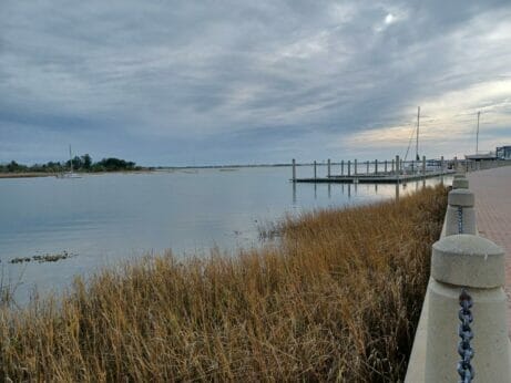
View of the water from Morehead City, North Carolina. (Photography by Lena Beck)
Before Natalie Nelson started working on the ShellCast app, there wasn’t an accessible tool in North Carolina that could help oyster farmers predict potential closures to their leases. Nelson is an associate professor in the Biological and Agricultural Engineering Department at North Carolina State University. ShellCast, which was piloted in 2021 and released to the public in 2022, was recently updated and expanded this year. It sources data from the National Weather Service’s probabilistic quantitative precipitation forecast, which shows the future precipitation possibilities.
“We’re essentially contextualizing [the forecast],” says Nelson. “So we provide that information in the context of the management criteria that are used to determine when the temporary harvest closures should occur.”
The app features a map of all the oyster waters in the state, and users can see whether the risk of closure is very low, low, moderate, high or very high. The forecast presents the risk level for the present day, one day out and two days out.
Now, the team has expanded the app to include South Carolina and is working on expanding to Florida. Nelson says the farmers who benefit the most are the ones who are most vulnerable to low influxes of rain—that is, are more likely to experience a closure due to less rain.
“If they have a temporary closure that occurs, they are then suddenly in limbo, and they might not be able to harvest their products as planned,” says Nelson. “By having information, they’re at least able to assess whether or not they should potentially harvest early.”
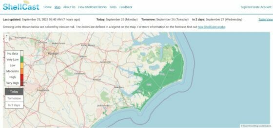
Screenshot of the ShellCast web app.
Mapping toxin risk
Toxin-producing algae and pollution present multiple obstacles to shellfish consumption. In coastal areas of Canada, a new app is mapping toxin risk to enable safe, local harvesting.
The idea for Can U Dig It was developed by Q’ul-lhanumutsun Aquatic Resources Society (QARS), a coalition of Hul’q’umi’num’ communities. Intertidal shellfish are a traditional food source for these First Nations, and safe access to these foods is important to maintain. Trailmark Systems, a cultural and environmental consulting firm, took on the project.
“Folks do get sick by harvesting shellfish in these areas, and we really wanted to develop something that they felt was trustworthy and that they could use while they’re out in the field,” says Beth Keats, partner at Trailmark Systems. “QARS wanted to make sure that people would know when there is a partial opening so that they can go and exercise their rights to harvest and be safe to do it.”
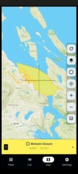
Screenshot of the Can U Dig It app.
Can U Dig It harvests open-access government data from Fisheries and Oceans Canada, including which beaches are currently open or closed to shellfishing, as well as whether the closure is caused by biotoxins or sanitation issues. The openings can sometimes be short and easy to miss, says Keats, so it’s important to be able to identify harvest windows when they occur. Can U Dig It is also available in more languages besides English, including Korean, Tagalog and Vietnamese. The app is usable on both Canadian coasts.
Harvesting shellfish contributes to a greater sense of well-being, says Keats, and is an especially important right for First Nations.
“It is so essential…to maintain that practice as they have for millennia.”
Shellfish Greater Sense Of Well-being